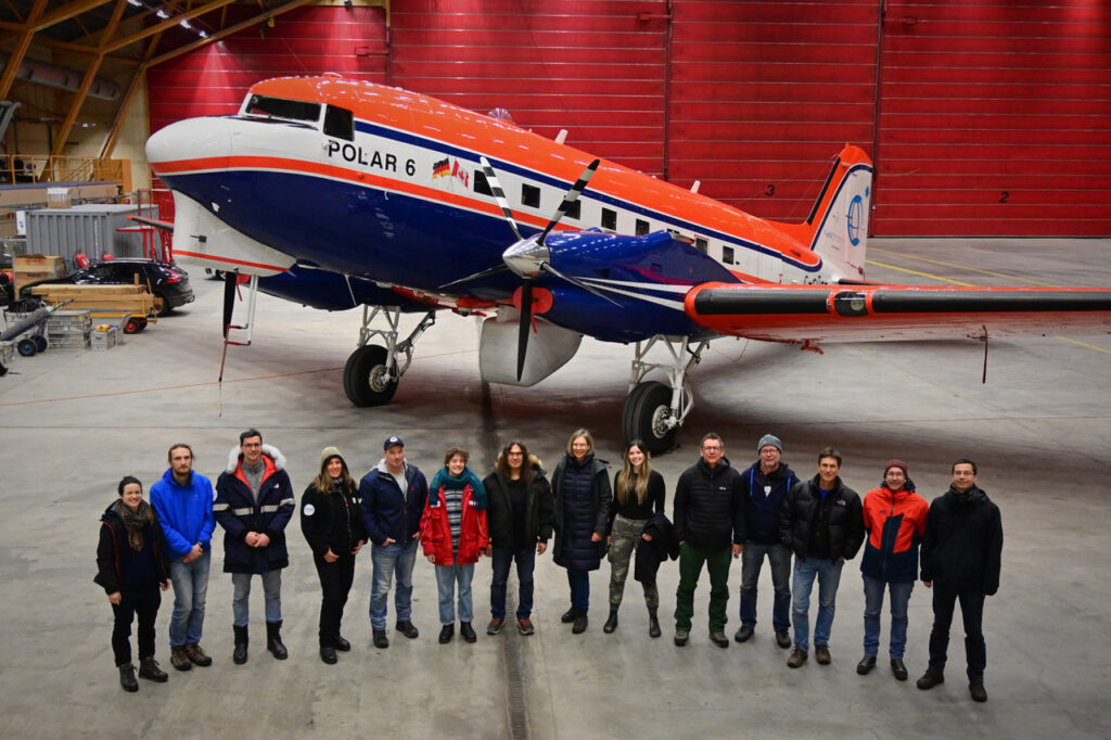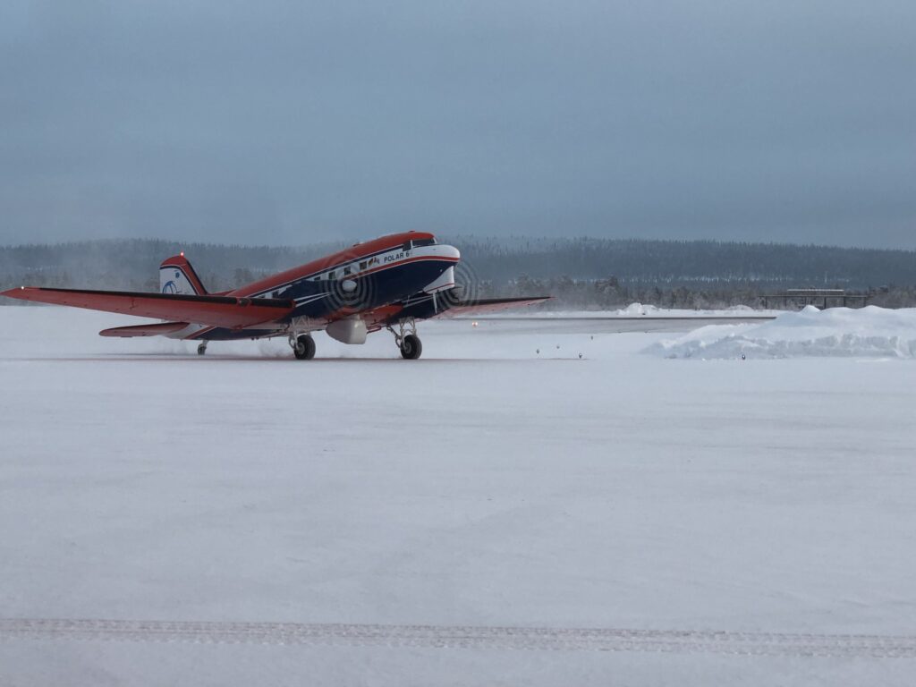
Before some of us left the team, we took the chance to take a picture of the HAMAG crew in front of our reliable research platform Polar 6 in Arena Arctica. In the middle underneath the fuselage, you can see the belly pod carrying our two radars, GRaWAC and MiRAC.
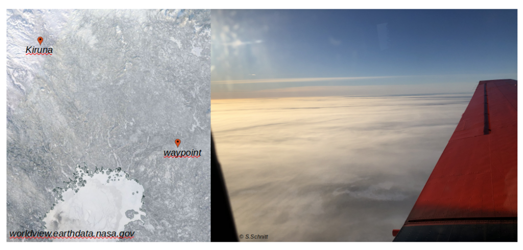
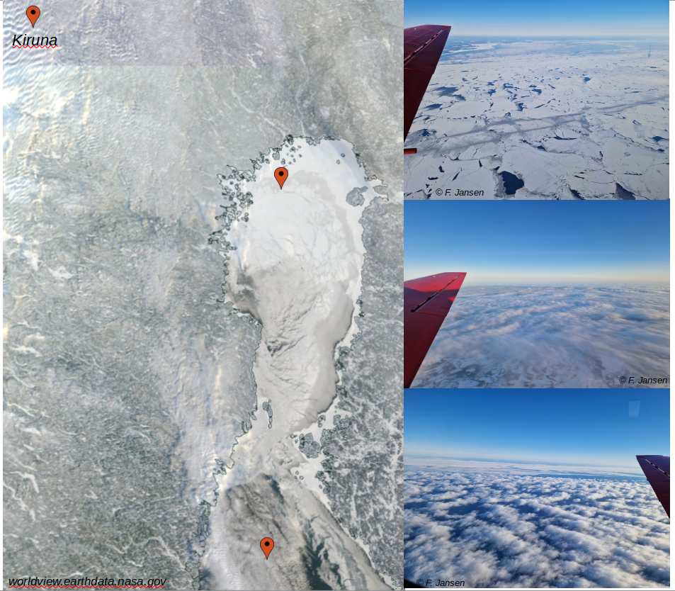
Outlook for tomorrow. For the first time, we will try a survey on the Norwegian coast.