
We flew over to the Norwegian coast off Tromso to sample beautiful open and closed cell convection (see satellite image) resulting from a cold air outbreak near Svalbard. Crisp and clear flight conditions in Kiruna made take-off and landing smooth, and after passing some textbook lenticularis clouds over the mountain range, we arrived at the very cloudy survey square over the ocean.
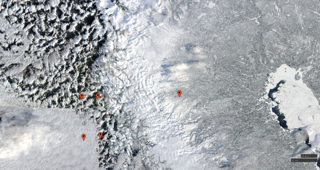
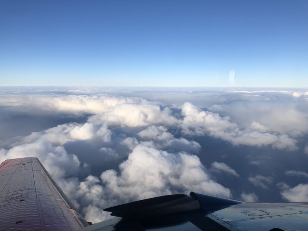
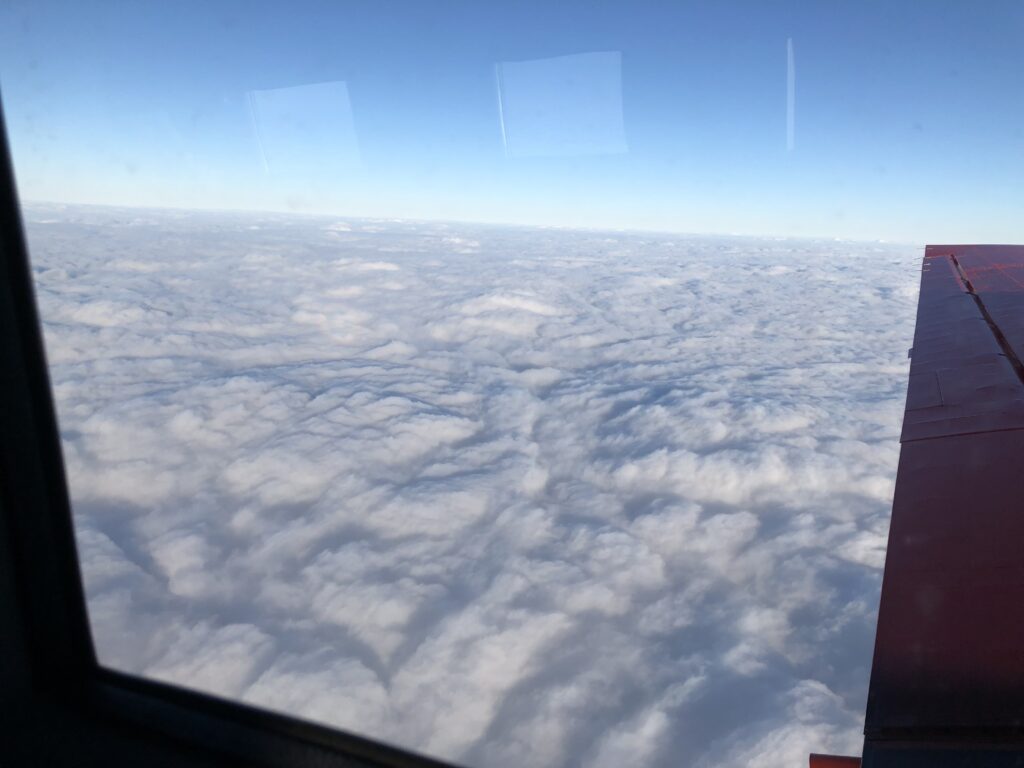
With our flight altitude of 10,000ft (about 3.3km), it was harder to distinguish the cells’ structure, but circular, open areas were easy to see in our instruments and with our eyes. Open cells, seen in the upper left corner of the sat image, are circular areas of clear air with clouds forming along the edges: cold air sinks down in the clear air, diverges at surface, and rises at the edges, leading to ring-shaped cloud formation. Closed cells (bottom left) work the other way around: warm, moist air rises in the cell’s center, while cold air sinks around the cell’s edge. The decks here additionally get influenced by air hitting the coast line, leading to accumulation of clouds. Both cell types produce different amount of rain which we could very well observe with both our radars!