ACTRIS becomes an ERIC – European Research Infrastructure

We are pleased to welcome you our new research member at the Institute of Geophysics and Meteorology at the University of Cologne, ERIC!

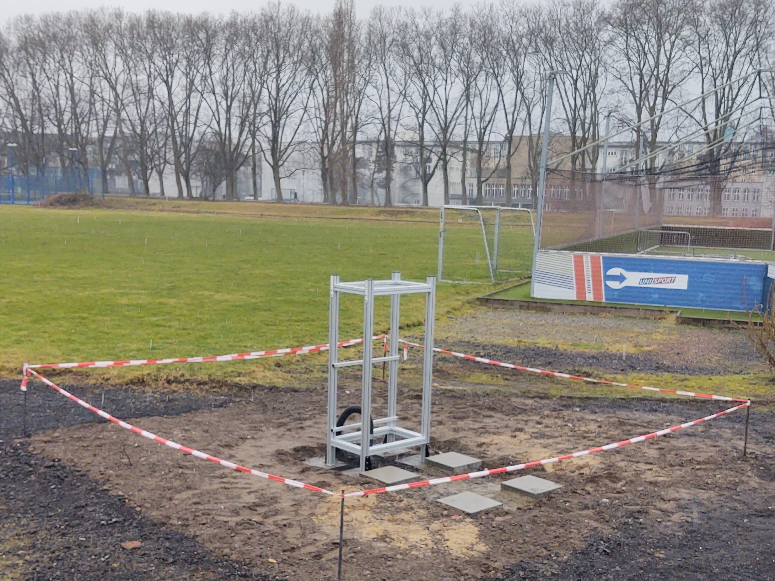
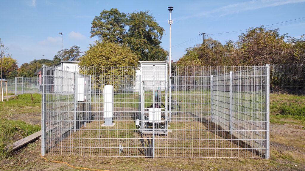
The European Commission has legally recognized the ACTRIS project as a European research infrastructure consortium for atmospheric research and granted it the status of a consortium, shortly known as ERIC! ACTRIS stands for Aerosol, Clouds and Trace Gases Research Infrastructure -and represents an international network of high-quality observations of variable atmospheric constituents. Long-term ACTRIS observations are thus intended to help reduce uncertainties in the diagnosis and prediction of future climate. Across Europe, more than 100 institutions are involved in ACTRIS, which together form the largest multi-site atmospheric research infrastructure in the world. For its contribution to the ACTRIS project, the Institute of Geophysics and Meteorology will receive a total of 4.5 million euros in funding from the Federal Ministry of Education and Research for a period of five years. With this funding, the cloud observation platform JOYCE, which is located at the Foschungszentrum Jülich and is a central component of the CPEX-LAB of the Geoverbund ABC/J (Geo Science Union of the Universities Aachen, Bonn and Cologne and the Forschungszentrum Jülich), will be significantly expanded to continue to observe the life cycle of clouds. JOYCE data will be quality-controlled and continuously provided to the whole ACTRIS research community  So, ERIC, let’s get started!

Meteorological Measurement Station Cologne City Center

In December 2022 we as the working group opened the ‘Meteorologische Messstation Köln’. This project was realized together with our project partners, the City of Cologne, the StEB (water management of the city of Cologne) the UniSport Cologne and University. Now, we as a managing working group and the city of cologne continuously monitor the weather situation in the city center of cologne, which was missing. In the future, the measurements will be used in the university education, to study city weather – such as the heat island effect – and on the longer term to create a climate time series.

Start: Preperation of the the site
Building up the measurement housing

The Project was indicated by the city of Cologne looking for a collaboration in monitoring the city’s climate. This project made it possible to set up this station and use it for education and measuring of the weather. But also, to start new collaborations with the city authorities and a real grate opportunity to create outreach and interact with society!

Station is ready to measure

The Project was indicated by the city of Cologne looking for a collaboration in monitoring the city’s climate. This project made it possible to set up this station and use it for education and measuring of the weather. But also, to start new collaborations with the city authorities and a real grate opportunity to create outreach and interact with society! If you want to be up to date about the current and past weather visit our site ‘Meteorologische Messstation Köln’ online – LINK. Or brows back in time for some historical data. In the future, the station will also be equipped with a precipitation sensor, an ozone sensor, as well as, a radiation sensor.

How we measure the atmosphere

Hervorgehoben

As the name of the working group already mentions, we exploit Observations in Meteorology to explore new meteorological observation systems or methods to improve our knowledge of the atmospheric structures involved dynamical and microphysical processes. One of our focuses is the observation of and in the Atmospheric Boundary Layer (ABL). These observations can help us shed light on the physical processes in the ABL, such as turbulent fluxes or cloud and precipitation formation. Also, we investigate the impact of these observational methods on short-term weather forecasts and high-resolution re-analyses.

The main focus of our working group is to use remote sensing instrumentation to profile the atmosphere. Together with standard weather and atmospheric radiation measurement equipment, the instruments form the Jülich Observatory for Cloud Evolution (JOYCE). They are located on top of one of the buildings of the Forschungszentrum Jülich.

The graphic shows instrumentation of our JOYCE measurement platform – Rain gauge, scanning Ka-band Doppler cloud radar, microwave radiometer, AERI, w-band Doppler cloud radar, wind lidar, Ceilometer, sun-photometer, the JOYCE Logo, and radiation sensors (from top left to bottom right)

The University of Cologne operates a set of active and passive remote sensing instruments. So we generate data to perform our research. But JOYCE delivers data to International Research Infrastructures such as ACTRIS (Aerosol, Cloud, and Trace-gases Research infrastructure; a EU Measurement and Research Infrastructure) or E-Profiel (European Measurement Network for Wind and Aerosol profilers). International collaborations are necessary to improve and develop data products, measurement standards, and quality control routines.